
Technology
One data chain, from satellite to smelter.
Technology is how every decision is made. The same data follows a deposit from the first satellite image to the last bar of gold, so each stage builds on the one before it.
Six stages
What we use, and what it decides.
| Stage | What we use | What it decides |
|---|---|---|
| 01Regional targeting | Multispectral imagery (Sentinel-2, ASTER), band ratios for iron oxides and clay alteration, digital elevation models, regional magnetics | Which corridors deserve ground work |
| 02Structure and regolith | Lineament interpretation, field mapping, regolith-landform mapping | Where gold is likely to have been trapped, and which sampling medium can see it |
| 03Geochemistry and geophysics | Soil and auger geochemistry with pathfinder elements (As, Sb, W, Bi), ground magnetics, induced polarisation and resistivity | Which anomalies are drilled, and in what order |
| 04Drilling and data control | Auger, RC and diamond drilling; one relational drillhole database; QA/QC with certified standards, blanks and duplicates; downhole surveys | Whether the data is good enough to build a resource on |
| 05Modelling and estimation | 3D implicit geological modelling, domaining by weathering profile, variography and kriging, bulk density and metallurgical testwork | How much gold, at what grade, at what confidence |
| 06Mine planning and operations | Pit optimisation, staged pit design, digital grade control, ore and waste reconciliation, refinery-certified output | What we mine, when, and whether the model holds |
Machine learning
Used where it adds information. Checked in the field.
We use machine learning where it adds real information: ranking prospectivity across large areas from many layers of data, and finding patterns a human eye would miss.
A model never replaces the geologist. Every algorithm-generated target is checked against the geological model and tested in the field before any drilling is spent on it.
Data discipline
- One database. Collars, surveys, logging and assays in a single validated record.
- Certified controls. Standards, blanks and duplicates in every assay batch.
- Accredited laboratories. Independent of our own operations.
- Reconciled. Model, mine and plant compared every month.
From signal to resource
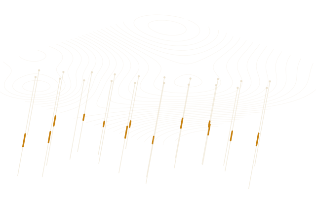
A spectral response is a place to investigate, not a confirmed occurrence. Only drilling, sampled and assayed under control, turns a target into a resource.
Our exploration method →